Geothermal energy
Geothermal energy
Geothermal heat is the heat within the Earth that exceeds the temperature prevailing at the surface.
Geothermal systems form where the crust is hot enough and contains enough fractures and water-bearing strata for water to flow through it, carrying heat up from deeper, hotter layers to the surface. These conditions exist in volcanic countries such as Iceland, where tectonic plates meet and are created.
Iceland's crust is relatively hot because its lower part is formed largely from magma intrusions that never reached the surface but solidified on their way up. It is hottest beneath the volcanic and rift zones and cools with distance as the crust grows older.
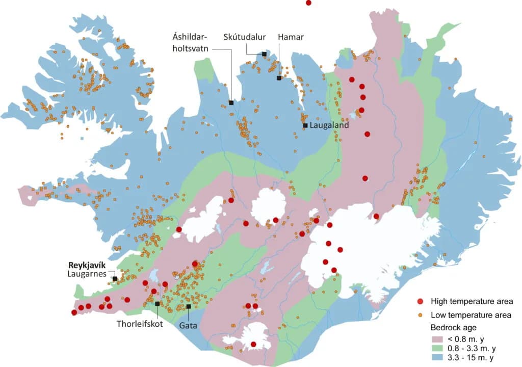
Beneath most of the country's high-temperature areas — all within the volcanic belt — magma intrusions linked to volcanism are thought to be the main heat source. Low-temperature areas lie where the crust is cooler, yet still warm enough to heat water to 50–150°C.
In this section
Geothermal, explained
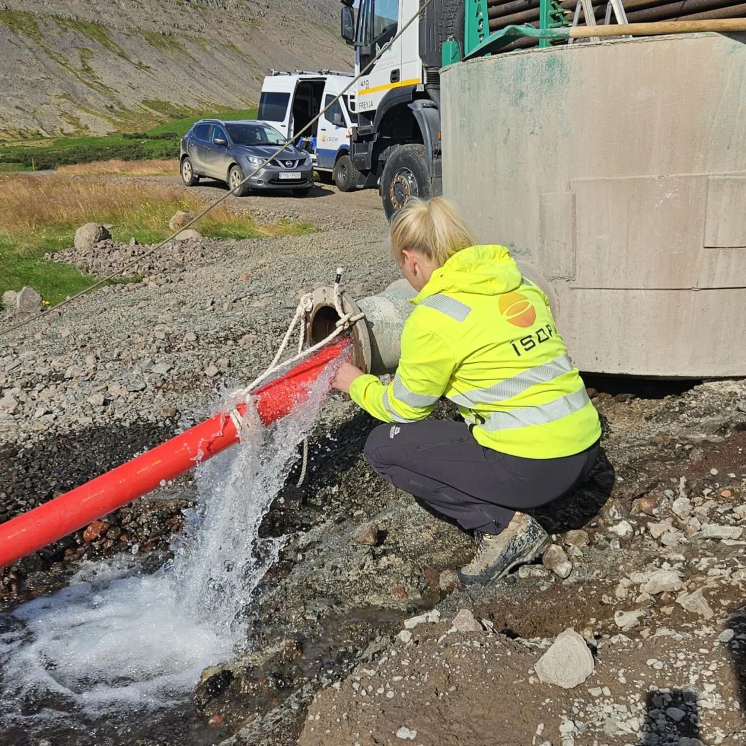
Boreholes
The word "borehole" means, according to the Icelandic dictionary, a hole that has been drilled (for example, for hot water). There are many types of borehole and different methods are used in drilling.
Read more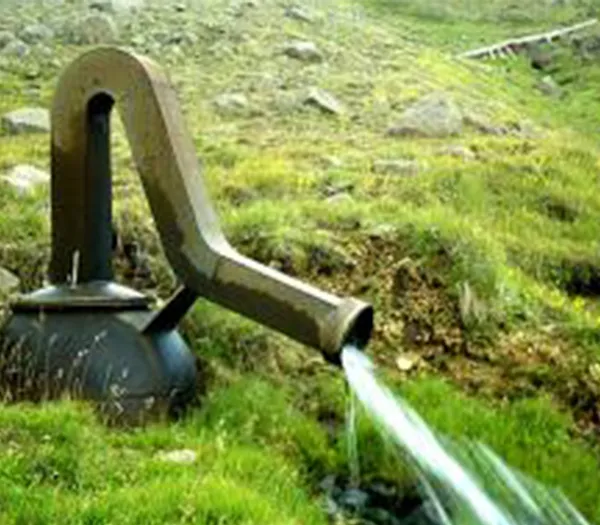
Low-temperature geothermal
Where the temperature is below 150°C at 1-3 km depth, the area is described as low-temperature.
Read more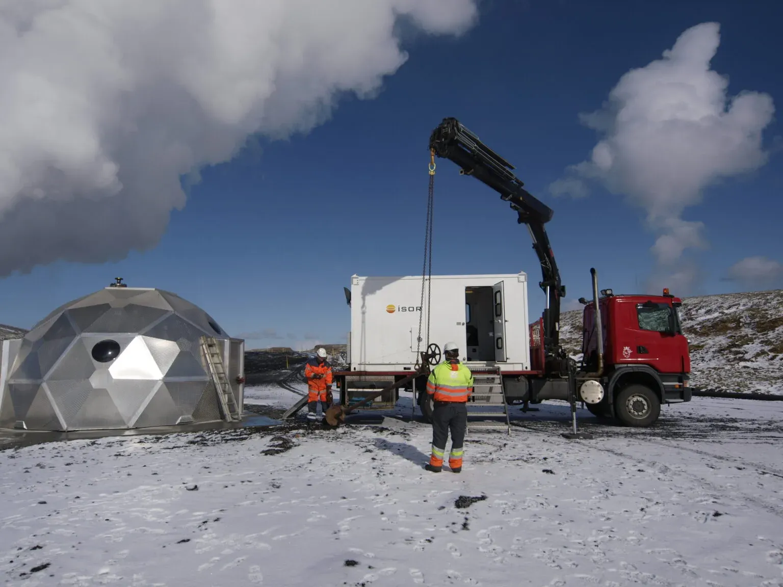
Drilling at Langhús in Fljót
Client: Skagafjarðarveitur. Project period: 2015-2016. ÍSOR project manager: Þórólfur H. Hafstað
Read more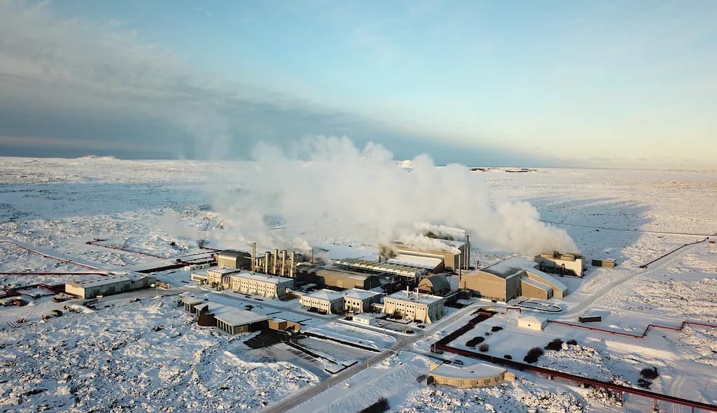
High-temperature geothermal
High-temperature geothermal is where a temperature of >200°C is measured at 1 km depth.
Read more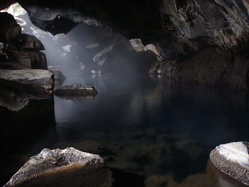
Outflow from high-temperature areas
Deep-water-mixed outflow
Read more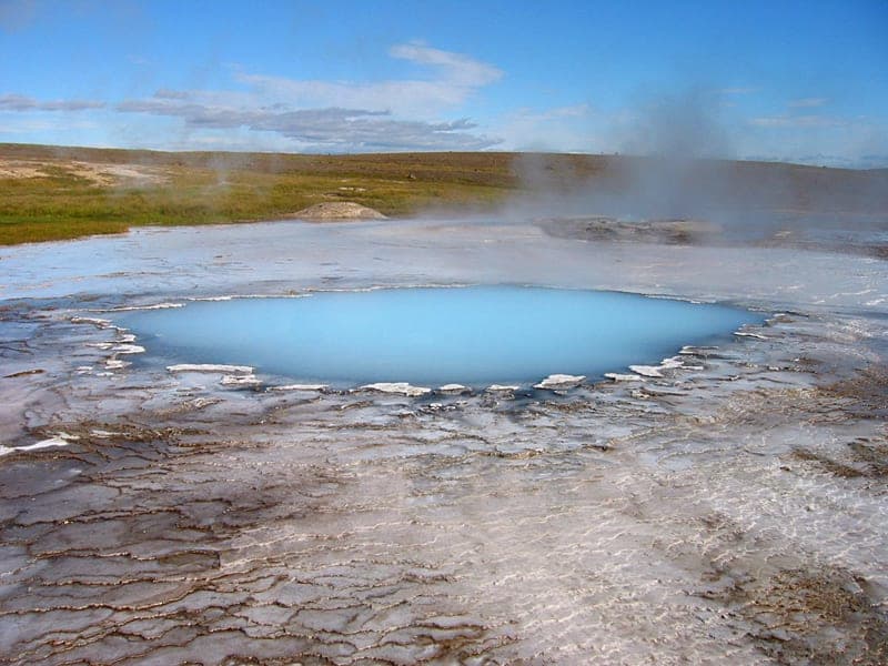
Deep water, springs with chloride-rich water
Water springs form in high-temperature areas where the groundwater of the geothermal systems (the deep water) is at boiling point and comes up to the surface. The deep water is rich in silicic acid, and sinter precipitates out where it emerges, generally near or a few tens of metres above the cold groundwater table of the surroundings.
Read more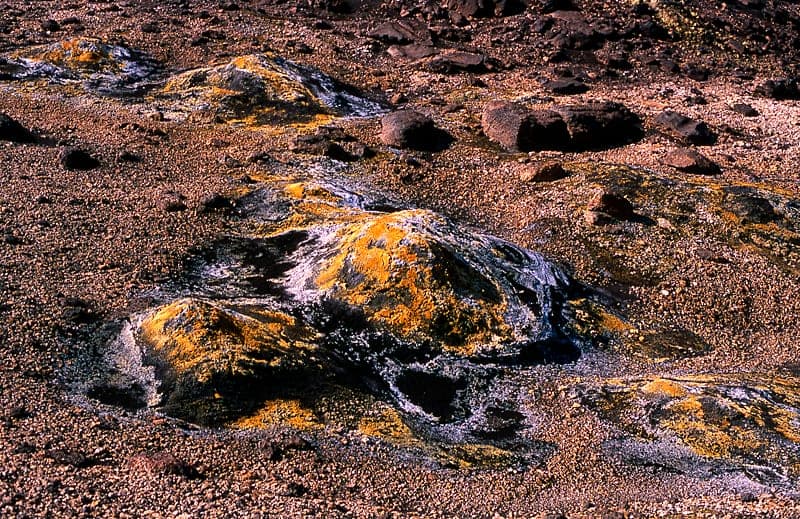
Steam-vent areas
Steam vents form in high-temperature areas where the groundwater of the geothermal systems (the deep water) is so deep that only steam or gas boiling out of it reaches the surface. Steam and gas that boil up off the deep water mix with surface water, turn into condensate (the steam) or escape. There, hot patches with steam and mud pots form. There is great variety among them, all depending on the gas content of the steam and on how it meets surface water. Clear boundaries exist only between true steam vents, where there is no surface water, and continuously boiling water springs where there is most surface water. Mud pots lie in between.
Read more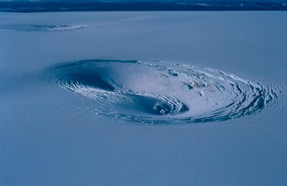
Geothermal areas in glaciers
Subsidence cauldrons
Read more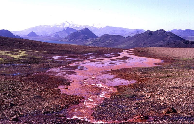
Carbon-dioxide springs - Pools and carbonated springs
Carbon-dioxide springs
Read more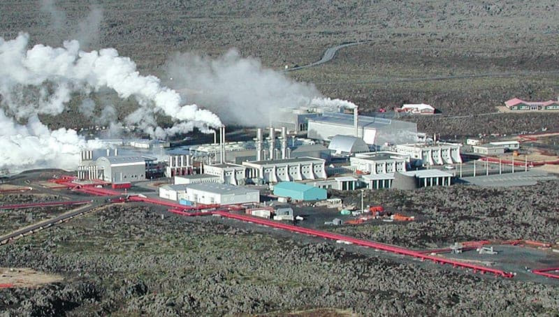
Human works in geothermal areas
Power stations
Read more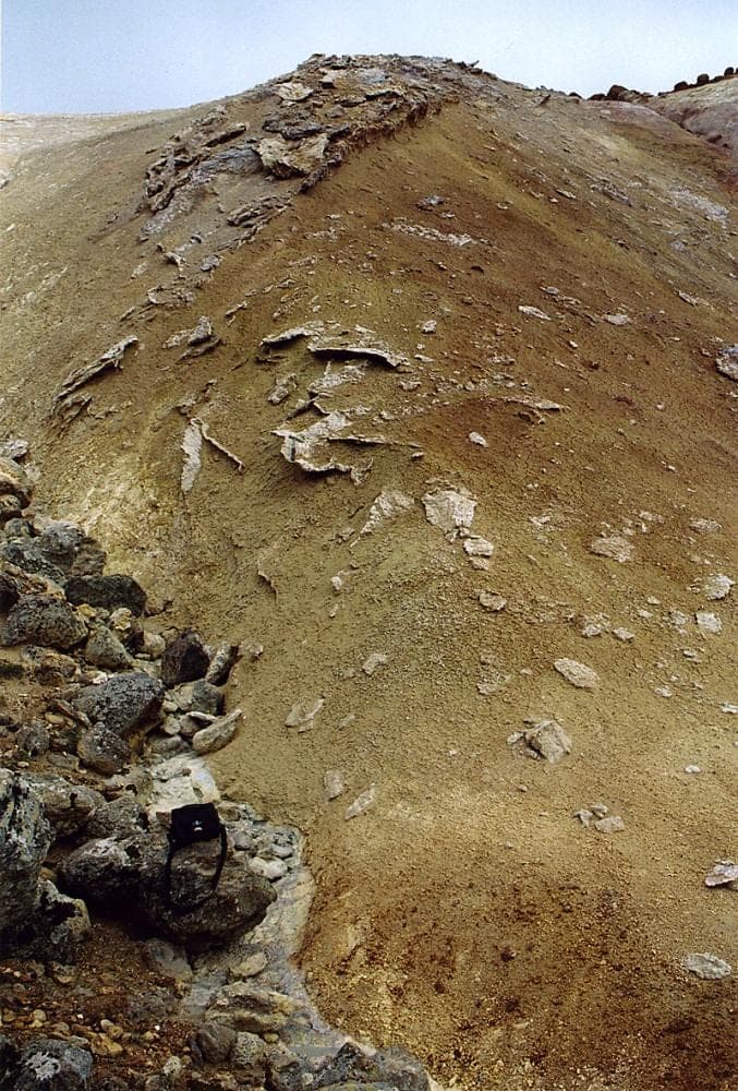
Extinct phenomena in high-temperature areas
Gypsum crusts and gypsum crystals
Read more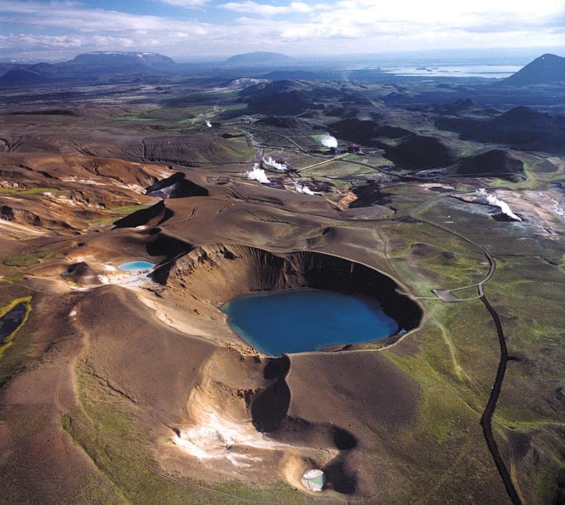
Explosion craters
Volcanic craters
Read more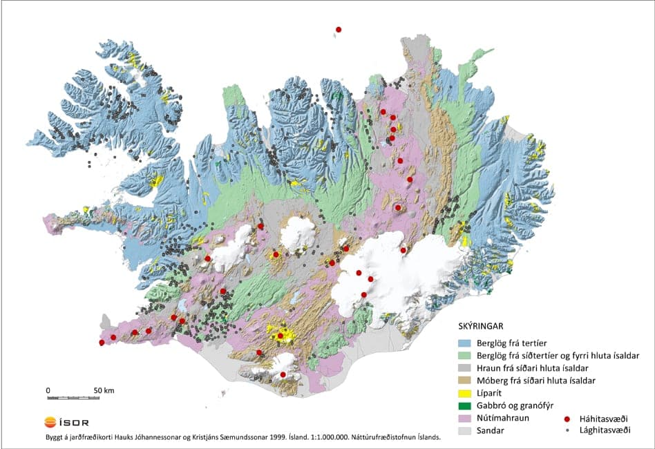
High-temperature areas
In Iceland the high-temperature areas number 25 to 40 depending on how they are counted, of which 5-6 lie beneath glaciers.
Read more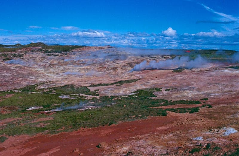
The geothermal area at Reykjanes
The geothermal area at Reykjanes (on the heel) is about 1 km2 in size if only the springs and other visible geothermal signs are considered. Resistivity measurements indicate that it is at least four times larger and also extends out into the sea to the south-west. The geothermal area is mostly covered by lava, but tuff and pillow-lava ridges stand out. One of them, Rauðhólar, reaches into the geothermal area. There the first successful production wells were drilled.
Read more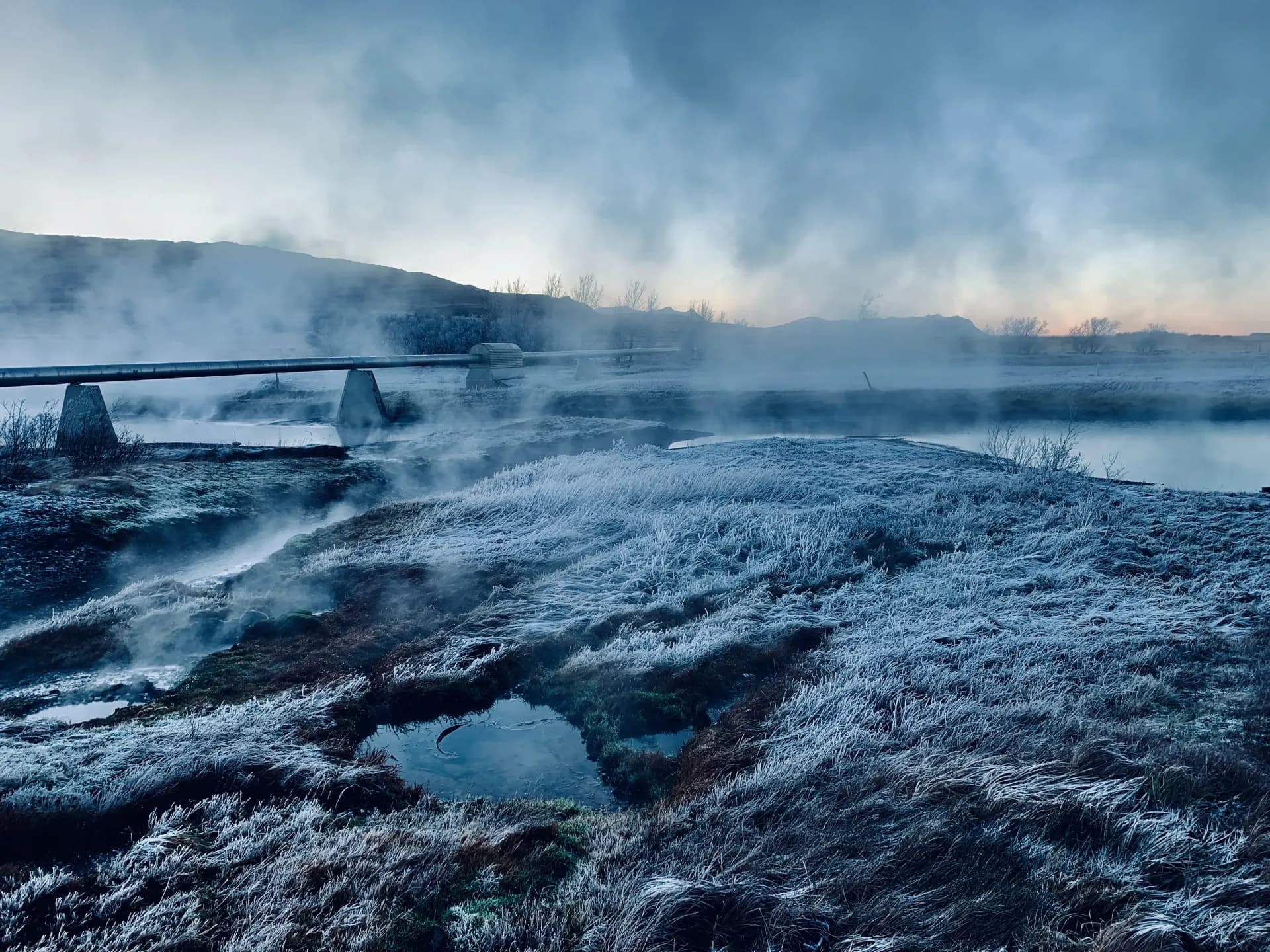
The geothermal area Krýsuvík
The Krýsuvík area covers the geothermal areas at Austurengjar, in Krýsuvík, Köldunámur, Trölladyngja and at Sandfell. The first four of these show themselves to be continuous in resistivity measurements, but the Sandfell area is separate from them. The main area is circular, about 50 km2 in area within the 10 ohm-m contour. The Sandfell area, measured in the same way, is about 4 km2. Sveifluháls and Vesturháls with Trölladyngja are tuff ridges composed of many eruptive units and reach at most 300-400 m in height. Present-day lavas cover all the lowland west of the ridges and between them. Their sources are in eruption fissures on both sides of and on the outside of Vesturháls and Trölladyngja. Eruption fissures are also east of Sveifluháls and explosion craters on the ridges west of it, but the lava volume from all of them is small. The eruptive activity wanes from there to the north-east and becomes a depression where Kleifarvatn is. The rock formations between Sveifluháls and Austurengjar are older than west in the ridges and in the lava areas. Substantial tuff formations from another volcanic system are east of Kleifarvatn and the ridges south of it.
Read more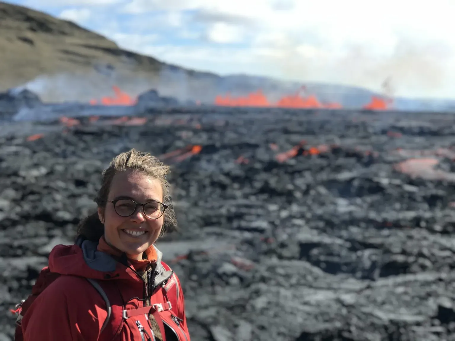
The geothermal area in Brennisteinsfjöll
The geothermal area in Brennisteinsfjöll lies at 400-500 m above sea level. Active geothermal heat appears as steam at about 450 m height, but cold alteration is in four places and bears witness to greater activity in earlier times. Geothermal heat at the surface is insignificant, and based on the extent of geothermal heat and alteration the area is about 3 km2. Resistivity measurements indicate that the area is about 18 km2 at 700 m depth below sea level, about 1200 m below the surface where geothermal heat is detected. The high-temperature area in Brennisteinsfjöll lies in the eponymous fracture swarm, and there have erupted there at least 30-40 times since the Ice Age ended. Fault lines are young in the area from the sea north to Mosfellsheiði, and earthquakes often occur in a belt about 5 km wide and about 40 km long. Earthquakes in Brennisteinsfjöll can become fairly large. The main type of strata is tuff, and where eruption sites have reached up out of the glacier, lavas have flowed and table mountains or lava ridges have formed. All rock formations are basalt, and no acidic or intermediate rock has been found at the surface.
Read moreGeothermal heat in the Hengill area
The Hengill area covers two central volcanoes and their surroundings. One, the Hveragerði volcano, is extinct and dissected. The other is active and covers Hengill and Hrómundartindur. The eruptive formations in the area are about 800,000 years old. The oldest strata are found in the ridges south-east of Hveragerði, while youngest are the lavas that have flowed from the eruption swarm through Hengill.
Read more
The geothermal area Torfajökull
The Torfajökull area is a continuous mountain massif that rises 300-600 m above its surroundings. Its characteristic rock type is rhyolite, from the oldest formations to the youngest. Tuff formations are on top of the rhyolite in part, youthful ridges and tuff covers in the western area, but erosional remnants in the eastern area with dykes in the substratum. The volcano, which the Torfajökull area certainly is, has built up on a flank belt. It is first noticeable in the tuff formations, probably from the last glacial period, that a rift belt is breaking into it. At the same time the rock type changed from alkaline to mixed rock where the basalt component is tholeiite. The youngest signs of this are NE-SW-trending faults and the eruption fissures of the rhyolite lavas.
Read more
Geothermal area in Vonarskarð
Vonarskarð is the name of the area between Tungnafellsjökull and Vatnajökull (Bárðarbunga). In this area there are three central volcanoes. Westernmost is Tungnafellsjökull, which seems a fairly old volcano and quite eroded. In its top there is a small caldera, but surface geothermal heat has not been found. In the middle is Vonarskarð, which grips into the eastern slopes of Tungnafellsjökull. Easternmost is Bárðarbunga, and it is obviously the youngest of these three central volcanoes. There no geothermal heat has been detected.
Read more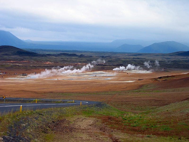
Geothermal heat at Námafjall
The Námafjall area is in the fracture swarm of the Krafla system 4 km south of the Krafla caldera. It is about 4 km2 based on surface signs, one continuous whole, bleached by alteration and cast over with springs and hot ground. Cold patches are interspersed, and on Námafjall south and north of the thermal area. On Námafjall sulphur mounds are the main feature of the spring activity. The same can be said of Bjarnarflag after spring activity came to life there in the Krafla fires. East of Námafjall, by contrast, there are more mud and steam pots, all the largest steam vents in fact old boreholes from the times of an attempt at sulphur extraction. Resistivity measurements show that the area is considerably larger than the surface signs indicate and could be about 20 km2 at 1 km depth.
Read more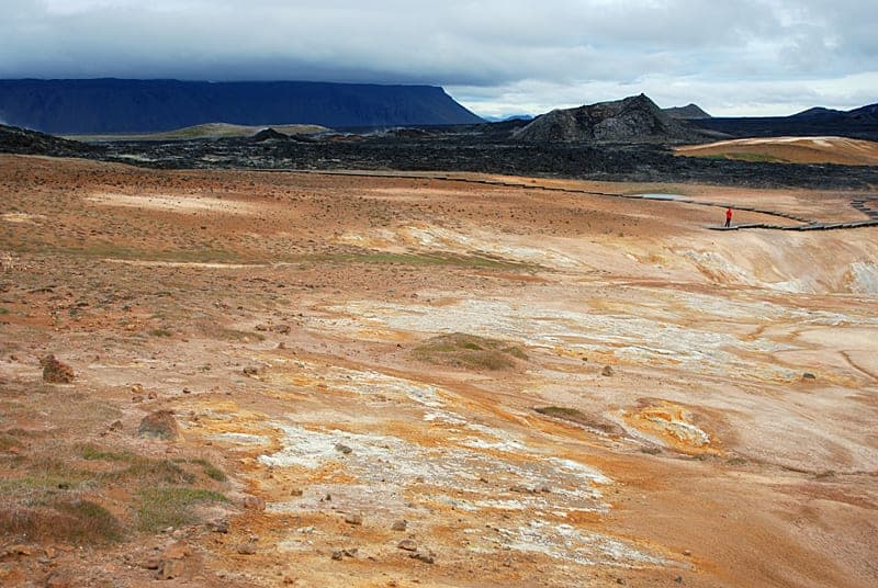
The geothermal area in Krafla
The geothermal area in Krafla is in an old caldera that is almost filled up to the rim with tuff and lavas but split into two halves by a graben with a NNE-SSW trend.
Read more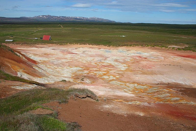
The geothermal area at Þeistareykir
The geothermal area at Þeistareykir is connected with an active central volcano. Around it runs a fracture system that trends almost N-S, about 4-5 km wide and reaches from Mývatn in the south north to the sea at the westernmost part of Kelduhverfi. The fracture system is little volcanically active, but large earthquakes are fairly common within it. The build-up of lava has, however, been quite considerable, but the youngest lava, Þeistareykjahraun, is 2,700 years old and lies over Stóravítishraun, 2 km wide from the western margin of the geothermal area west of Bæjarfell north below Grísatungufjöll.
Read more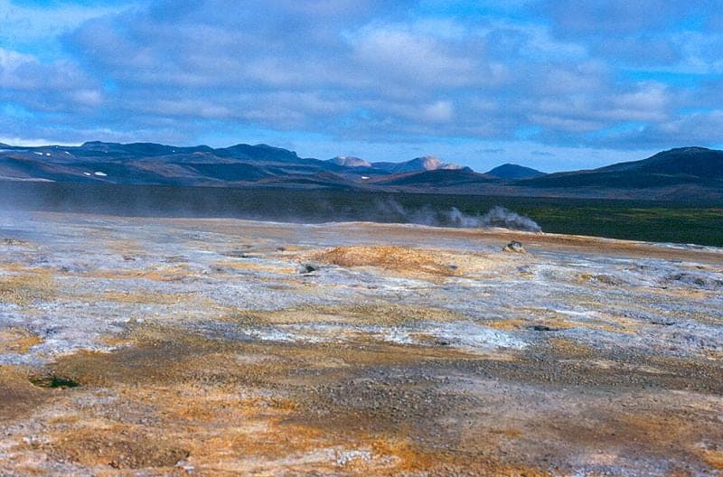
Geothermal heat at Hágöngur
Hágöngur is about 40 km north-east of Þórisvatn. In this area there is a little-known high-temperature area that partly ended up under Hágöngulón. In the area there appears to be a central volcano, and it is not unlikely that there is a caldera in it although it is not visible. Rhyolite formations indicate this, lining up in a half-arc (including Nyrðri- and Syðri-Hágöngur).
Read more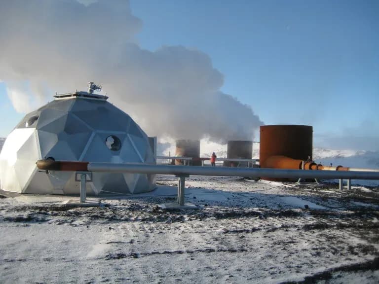
Renewable energy sources
By a renewable energy source is meant that energy comes in place of that which people take from the source, that is to say, the energy source does not diminish even when drawn upon. It is not entirely simple to define what counts as a renewable energy source, but internationally people have nonetheless agreed on which energy sources are to count as renewable and which not. Hydropower, wind power, solar power and ocean power are good examples of renewable energy sources; they all originate in solar radiation and will persist as long as it lasts. Despite that, these energy sources can change because of local changes in the flow of water, the radiation of the sun or the streaming of the sea and winds.
Read moreSustainable use of geothermal energy
Geothermal energy counts as a renewable resource, and it can be used both sustainably and unsustainably.
Read moreOverview of the geology of the Reykjanes peninsula
Geologically, the Reykjanes peninsula reaches east to the triple junction of the plate boundaries south of Hengill. The Reykjanes peninsula is a so-called oblique rift belt, and the rifting takes place in NE-SW volcanic systems, which are tens of kilometres long, with faults, fissures and crater rows.
Read more