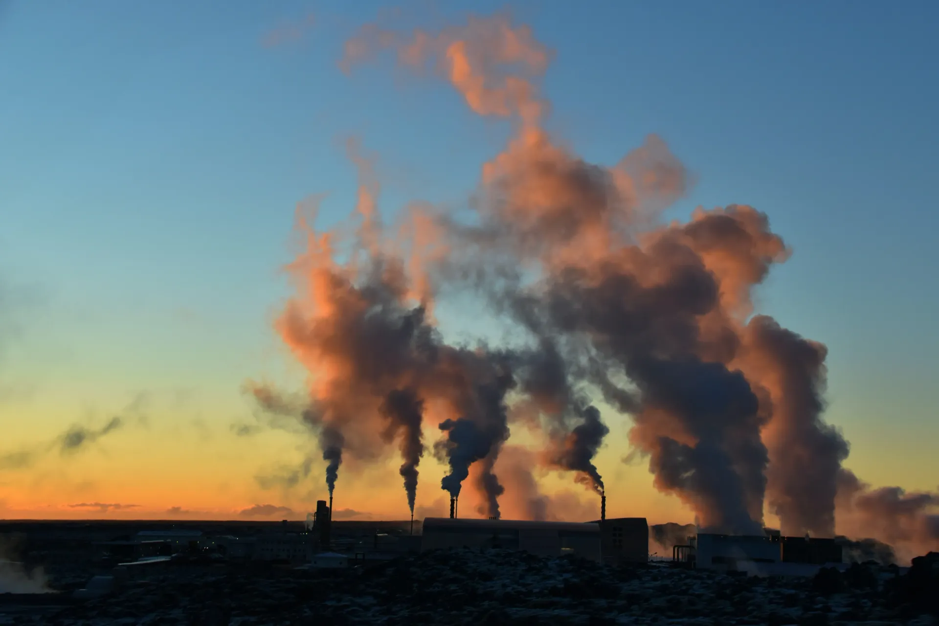
Iceland GeoSurvey
Geoscience for a sustainable future
We research Iceland's geothermal systems, geology, and natural resources — and share that knowledge with government, energy companies, and the public.
Explore services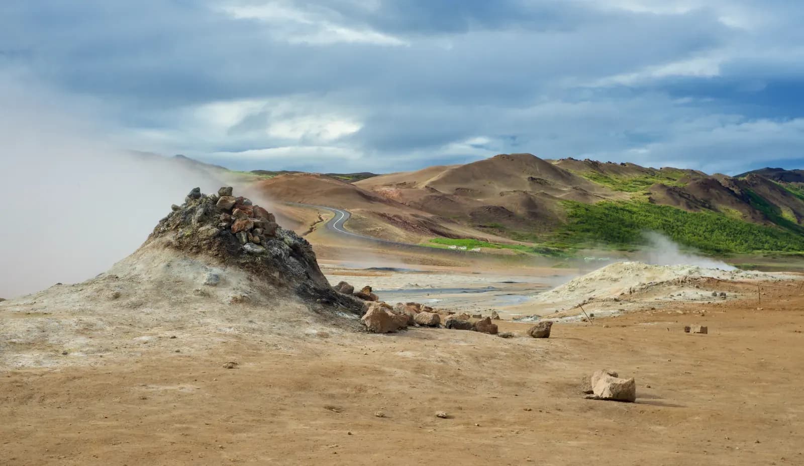
Projects
Recent projects
GSEU – a geological service for Europe
EuroGeoSurveys
We aim to contribute to the European Green Deal, the UN Sustainable Development Goals and the Horizon Europe objectives through the development of a Geological Service for Europe, which focuses on the planet itself: the earth beneath our feet.
Learn more
EPOS – geohazard exploitation platform
Veðurstofa Íslands
EPOS Iceland aims at building electronic infrastructure in Iceland in the form of robust data services, which are set up and operated at the Icelandic Met Office. The services are directly connected to the central data service of EPOS ERIC, which provides access to important multidisciplinary geoscientific data from Iceland and allows processing and joint interpretation with the international geoscientific data held there.
Learn more
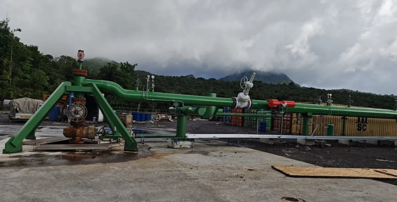
COMPASS – casing & cementing of deep wells
ON Power
The project concerns the preparation for deep drilling and aims at solutions so that casings can withstand the strain that arises when high-temperature wells heat up. This is to be done, among other things, by examining cementing with "foam cement", a light and flexible cement that reduces the load on the casing. A method will be developed for releasing the pressure that builds up between casings (ÍSOR), corrosion protection by cladding will be specially examined, and corrosion tests will be carried out at the surface and down the well with a logging wire (ÍSOR). An integrated casing system designed to withstand supercritical conditions (including the use of expansion joints) will be tested in experiments at SINTEF in Norway, which also handles the simulation of boreholes.
Learn more
EMODnet – European marine observation & data network
EuroGeoSurveys
Using lessons learned from previous phases, the consortium will continue to compile fragmented marine data products, making them available through the EMODnet Central Portal following optimisation and testing in Call for tenders EASME/2020/OP/0006 – [Lot 2 – Geology] Consortium GTK – Technical offer EGDI, the European Geological Data Infrastructure, and in home systems of work-package (WP) leaders. The portal will also provide access to data and metadata held by each participating organisation, allowing end users to assess the quality of data products, and providing them with an opportunity to create their own maps or models. Data products will be compiled at a scale of 1:100,000 or finer using the standards developed during the previous EMODnet Geology projects. At the same time, the consortium will continue to improve 1:250,000 and 1:1,000,000 data products generated during earlier EMODnet phases, as they have specific value for supra-regional to pan-European end use and visualisation. The smaller-scale products, although very informative, are more fragmentary.
Learn more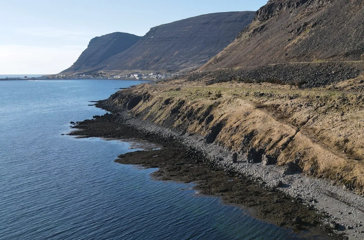
Drone-based magnetometry
Jarðvísindastofnun HÍ
The equipment consists of a magnetometer and a drone. The magnetometer is a MagArrow from Geometrics and is specially made for measurements with a drone, but can also be used for measurements from a helicopter or aeroplane. The drone is a DJI Matrice 600 Pro. The equipment is intended to add to the capacity already available in geophysical exploration in Iceland, where the equipment for such measurements is mainly held by ÍSOR and the University of Iceland. There is cooperation on equipment build-up and this equipment is part of it.
Learn more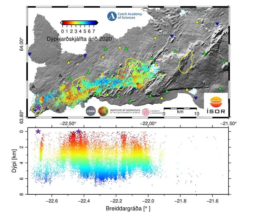
NASPMON – natural seismicity for geothermal exploration
Czech Academy of Sciences
NASPMON is a four-year collaborative project between Iceland and the Czech Republic; specifically ÍSOR and two institutes within the Czech Academy of Sciences (CAS), as well as the Faculty of Science of Charles University in Prague. The NASPMON project builds on decades of informal cooperation between ÍSOR and CAS; the Academy has operated 15 seismometers on the Reykjanes Peninsula in collaboration with ÍSOR since 2013.
Learn moreResearch areas
Expertise that reaches from the surface to the deep
From geothermal reservoirs and drilling to natural hazards and environmental studies.
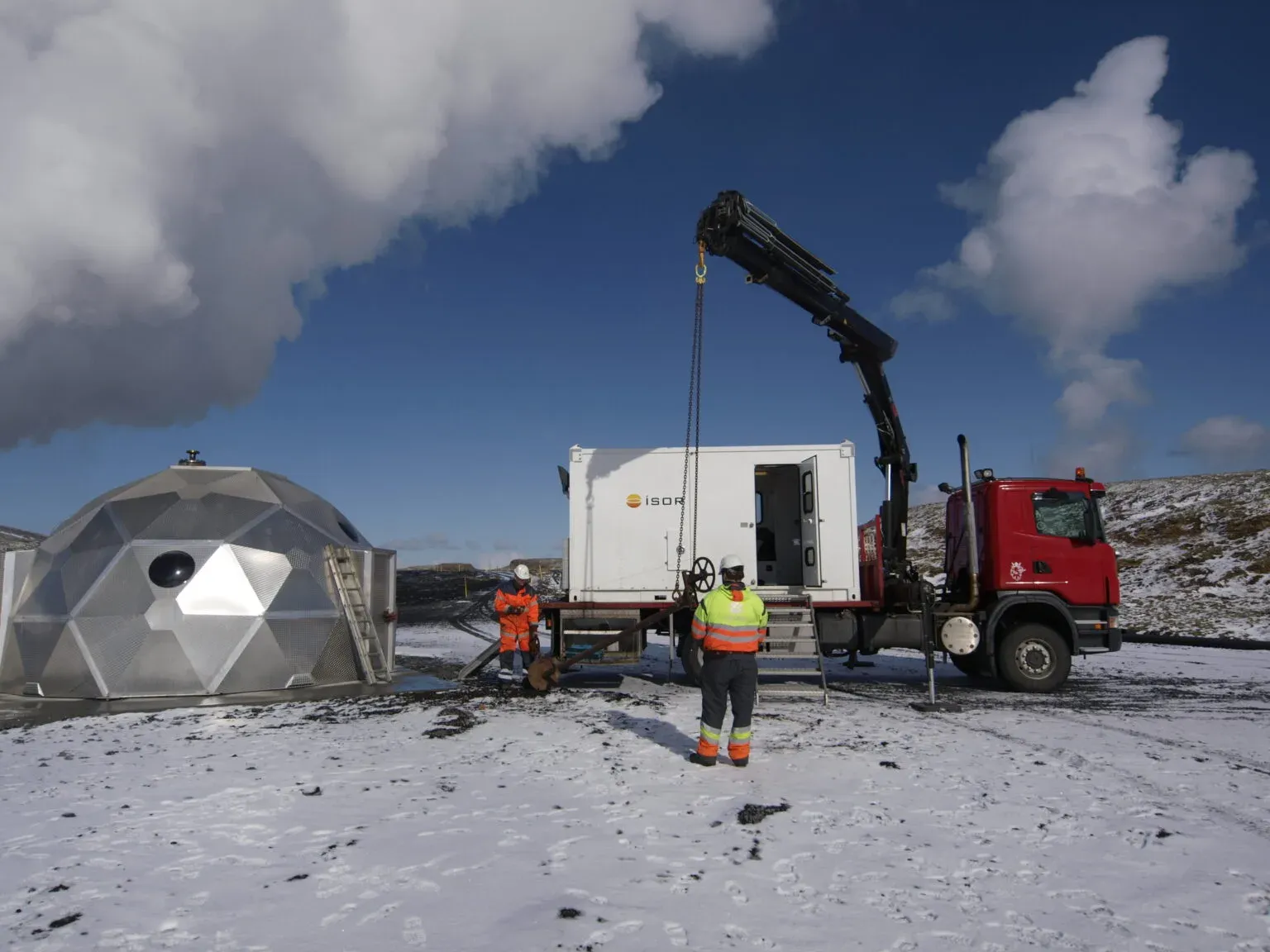
Borehole logging
Prófanir og mat á afköstum borholna útheimta ýmiskonar mælingar til að afla upplýsinga um einkenni borholna og afkastagetu þeirra og jafnframt um einkenni og eiginleika hvers jarðhitakerfis. Þetta á einnig við um örvun borholna sem miðar að því að auka afköst nýrra jafnt sem eldri vinnsluholna. Borholuprófanir eru lykilatriði við borun rannsóknarholna, vinnsluholna, viðhald borholna og skráningu upplýsinga um hvert jarðhitasvæði.
Learn more
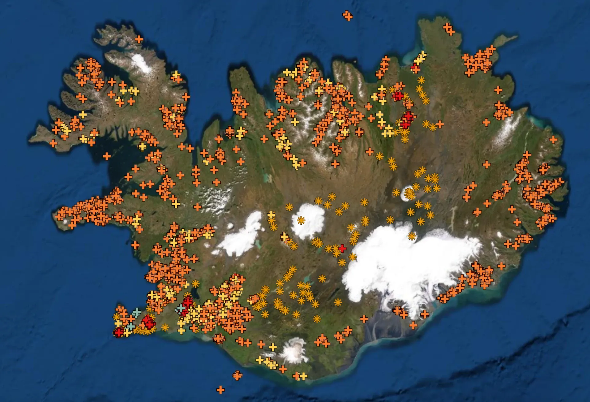
Geothermal resource assessment
ÍSOR býr yfir áratugareynslu í að meta orkuforða jarðhitasvæða bæði við lág- og háhitakerfi á Íslandi sem og erlendis. Mat á stærð jarðhitakerfis felst í könnunum og rannsóknum til að ákvarða eðliseiginleika og orkuvinnslugetu viðkomandi jarðhitakerfis. Matið byggist á fyrirliggjandi gögnum á hverjum tíma, eða á hvaða stigi nýting kerfisins er. Gögn sem stuðst er við geta verið frá yfirborðsrannsóknum og rannsóknar- og vinnsluborunum auk vinnslugagna.
Learn more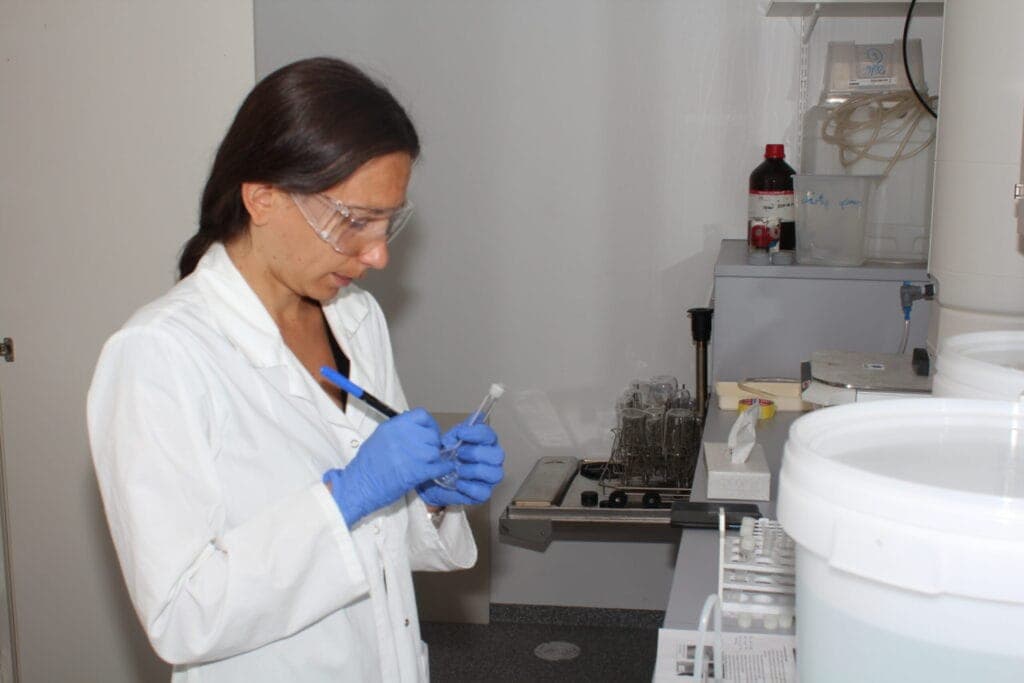
Chemical analyses
Sýnataka og efnagreiningar á vatni, gasi og jarðefnum eru meginsvið jarðefnaþjónustu ÍSOR. Við leggjum metnað í að tryggja viðskiptavinum örugga og faglega þjónustu og vinnum eftir alþjóðlegum stöðlum. Hjá ÍSOR starfar hópur efna-, jarðefna- og jarðfræðinga sem byggt hefur upp sérfræðiþekkingu í sýnatöku og efnagreiningum, einkum fyrir jarðhitaiðnaðinn á Íslandi.
Learn more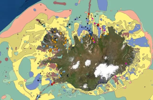
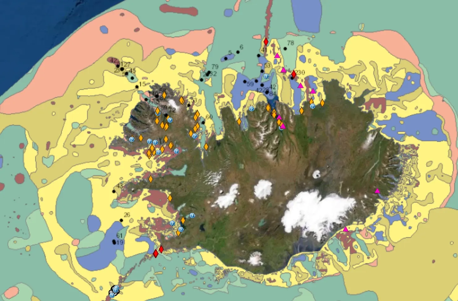
Geological mapping
ÍSOR sérhæfir sig í gerð ýmiskonar jarðfræðikorta, bæði af landi og hafsbotni. Í áratugi hafa sérfræðingar ÍSOR og forverar þess unnið að því að kortleggja jarðfræði Íslands og koma upplýsingunum fyrir á mismunandi gerðum af kortum.
Learn more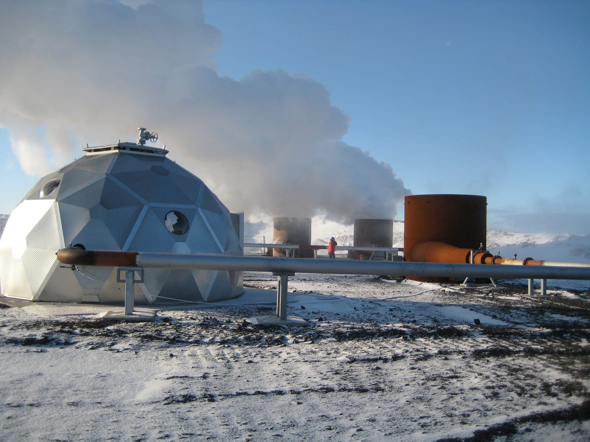
District-heating production monitoring
ÍSOR býr yfir áratugareynslu í að meta orkuforða jarðhitasvæða bæði við lág- og háhitakerfi á Íslandi sem og erlendis. Mat á stærð jarðhitakerfis felst í könnunum og rannsóknum til að ákvarða eðliseiginleika og orkuvinnslugetu viðkomandi jarðhitakerfis. Matið byggist á fyrirliggjandi gögnum á hverjum tíma, eða á hvaða stigi nýting kerfisins er. Gögn sem stuðst er við geta verið frá yfirborðsrannsóknum og rannsóknar- og vinnsluborunum auk vinnslugagna.
Learn more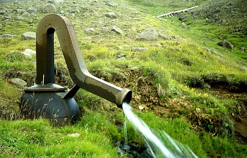
Groundwater research
Vatnsvernd og sjálfbær nýting vatnsauðlindarinnar er krafa nútímans. ÍSOR býr yfir sérþekkingu á þessu sviði. ÍSOR hefur veitt ráðgjöf um grunnvatn og grunnvatnsrannsóknir fyrir vatnsveitur, fiskeldisstöðvar og fyrirtæki sem framleiða flöskuvatn.
Learn moreMap viewers
Explore ÍSOR's web viewers
Interactive maps of Iceland's geology, geothermal resources, and seafloor.
Newsletter
Follow our research
Get the latest news, publications, and events straight to your inbox.