News
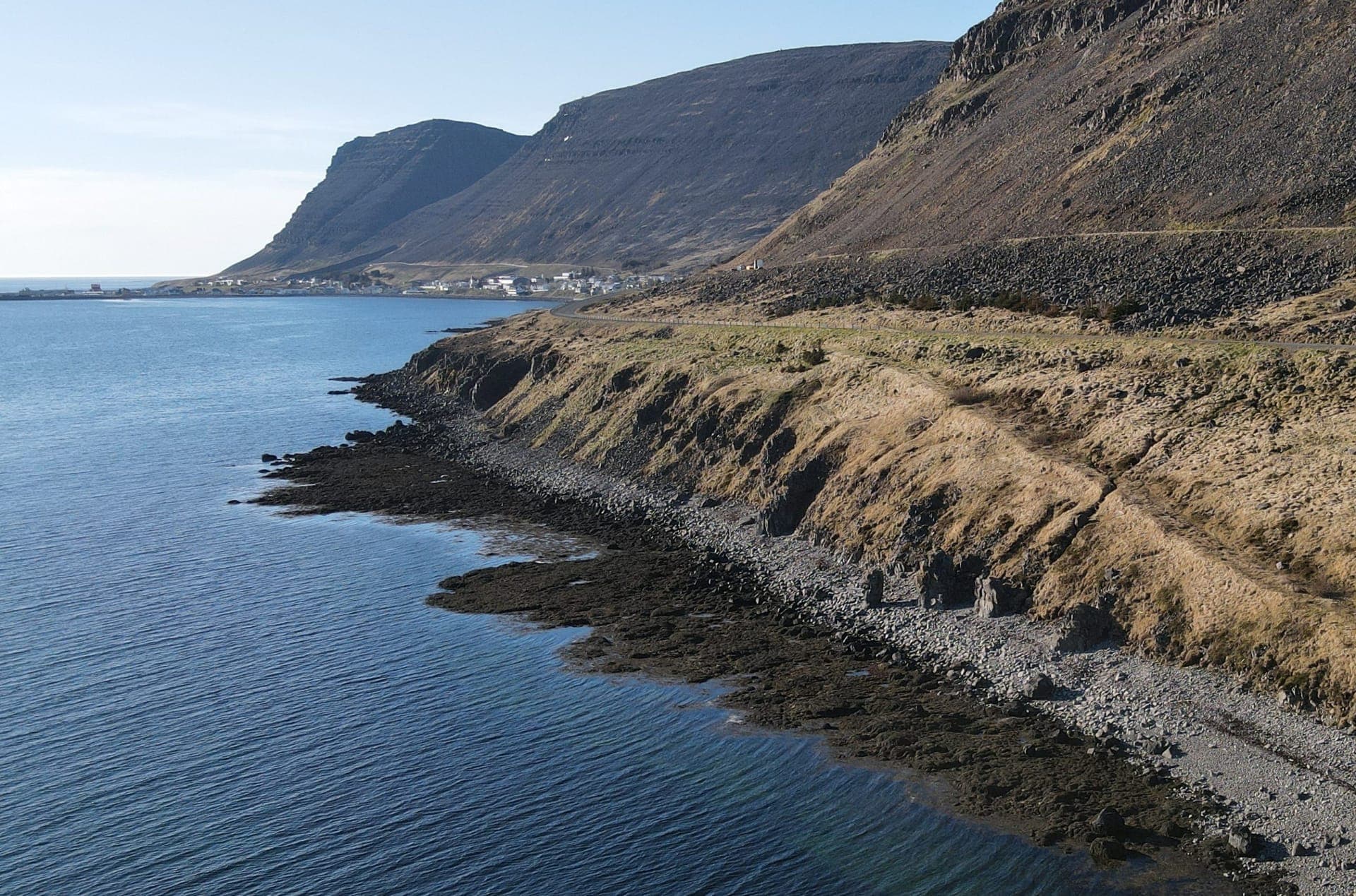
ÍSOR maps fractures and dikes at Patreksfjörður using a drone
ÍSOR · 26 May 2026 · 1 min read
ÍSOR staff were carrying out magnetic measurements with a drone at Patreksfjörður and its immediate surroundings before the weekend. The aim of the measurements was to obtain a clearer picture of the position of dikes and fractures in the area, in addition to the little that has been mapped at the…
ÍSOR staff were carrying out magnetic measurements with a drone at Patreksfjörður and its immediate surroundings before the weekend. The aim of the measurements was to obtain a clearer picture of the position of dikes and fractures in the area, in addition to the little that has been mapped at the surface in this area.
The information obtained with the help of the drone will be used in further geothermal exploration and in locating the next wells in the area.
There have been rapid advances in drone technology in recent years, which has created new possibilities in geoscientific research. ÍSOR has, for about a decade, used this technology for magnetic measurements, primarily for mapping intrusive rock (dikes) in low-temperature areas, but in addition ÍSOR has used drones in connection with geological investigation due to the volcanic unrest in Grindavík and for the analysis of magnetization (and demagnetization) of rock in high-temperature areas.