ÍSOR provides the authorities with scientific advice on the delimitation of Iceland's continental shelf. This involves research work, data acquisition and data interpretation. ÍSOR's specialists have taken part in presenting Iceland's claims to the United Nations Commission on the Limits of the Continental Shelf. ÍSOR has also advised in negotiations between states on the division of continental-shelf areas. Iceland claimed three continental-shelf areas beyond 200 nautical miles. The Ægir Basin (Ægisdjúp) was agreed in March 2016 on the basis of the report on Iceland's continental shelf. The other areas are the Reykjanes Ridge and the Hatton-Rockall area. The three areas total just over 1,400,000 km², about fourteen times Iceland's land area. There are significant interests for Iceland in securing the most extensive continental-shelf rights possible, even though it is not yet fully clear what resources the areas hold.
ÍSOR provides scientific advisory services to the authorities regarding the delineation of Iceland's continental shelf. This involves research work, data collection and the interpretation of data. ÍSOR specialists have taken part in presenting Iceland's claims to the United Nations Commission on the Limits of the Continental Shelf. ÍSOR has also provided advice in negotiations between states on the division of continental shelf areas.
Iceland made a claim to three continental shelf areas beyond 200 nautical miles. Ægisdjúp was settled by agreement in March 2016 on the basis of Iceland's continental shelf executive summary. The other areas are Reykjaneshryggur and the Hatton-Rockall area. The three areas total just over 1,400,000 km² in size, or about fourteen times Iceland's land area. There are substantial interests for Iceland in securing the broadest possible continental shelf rights, even though it is not yet fully clear what resources these areas contain.
Data collection and interpretation
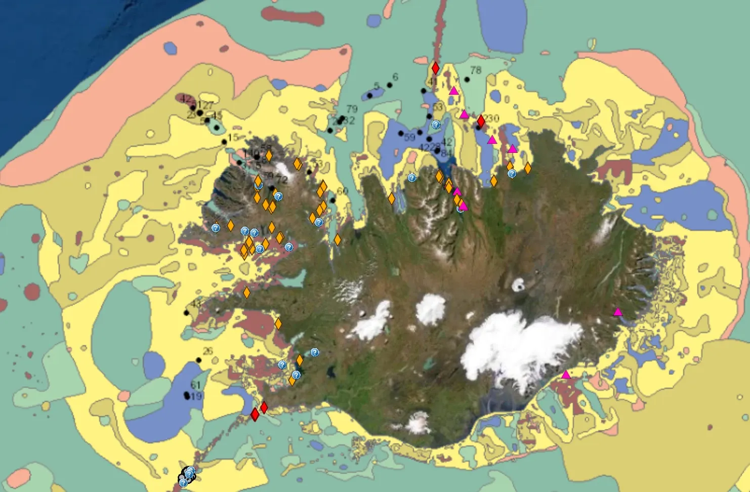
- Multibeam depth measurements. The length of the survey lines was about 32,000 km and they covered roughly 100,000 km2, equivalent to the size of Iceland. The Marine Research Institute (Hafrannsóknastofnun) managed their implementation.
- Other depth data. Supplementary data were obtained from open databases.
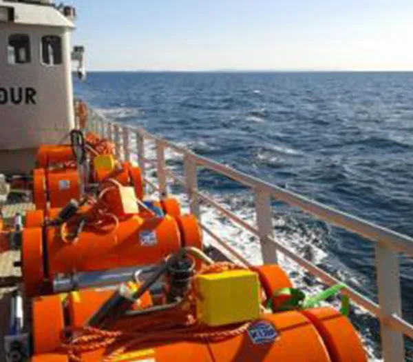
- Seismic measurements (reflection and refraction surveys) were carried out to examine sediment thickness and to obtain a clearer picture of the area's geological history. ÍSOR oversaw the collection of the measurements while foreign parties carried out the measurements.
- Reflection measurements. Measurements were made in Ægisdjúp, on the eastern side of Reykjaneshryggur, on the Iceland-Faroe ridge and on the Hatton-Rockall base, totalling about 4,800 km.
- Refraction measurements. About 290 km were measured on the Iceland-Faroe ridge.
- Novel methods were developed to distinguish the principal landscape features of the continental shelf, i.e. the shelf, the slope, the slope rise and the deep-sea floor, with the analysis itself concluding with the determination of the slope foot. From the slope foot, the outer limits of the continental shelf are then calculated as continuous 60-nautical-mile arcs.
Iceland's submission on the continental shelf beyond 200 miles
Iceland's submission on the delineation of the continental shelf on Ægisdjúp and on the western and southern part of Reykjaneshryggur was delivered to the United Nations Commission on the Limits of the Continental Shelf in New York on 29 April 2009. A summary of the submission can be read further down on this page in a PDF document.
Work is ongoing on a submission for the eastern part of Reykjaneshryggur and the Hatton-Rockall area.
Iceland’s Continental Shelf – Executive Summary (PDF)
Get in touch